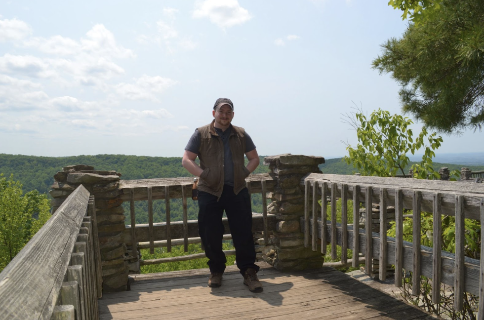
“DESTINATIONS WITH DAN”. Coopers Rock West Virginia
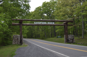
Welcome to Destinations with Dan! We are headed to West Virginia this time to see a place called Coopers Rock & to do a little exploring around it. It’s in Coopers Rock State Forest (Coopers Rock is IN Coopers Rock State Forest? What were the odds?). It’s a nice park with campgrounds, plenty of picnic areas scattered about, & a nice little gift shop. The gift shop has ice cream. That’s important information. Nothing fancy; just a freezer box of wrapped ice cream treats, you know, if you eat that stuff. I work at Turnpaugh Health so I am definitely NOT suggesting ice cream… DON’T DO IT. It’s just an observation that some may or may not find to be valuable information should they choose to ignore my warning to NOT eat the ice cream… Anyways… The actual overlook is very easy to get to, close to the main parking area, & should be manageable by most people to reach comfortably. Once you are there though you are actually headed out onto a large uneven rock so be mindful of that. Also, if you struggle with heights like me, you WILL feel it out on that rock. You can take in the view pretty well without going out onto it though if necessary. OK let’s head to Coopers Rock.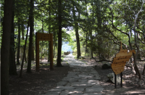
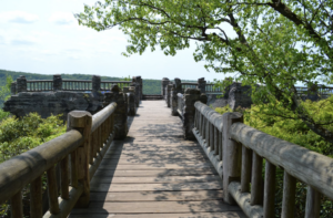 PICTURES THAT MAKE YOU FEEL LIKE YOU’RE WALKING TO THE ROCK
You felt it right?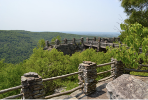
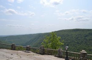
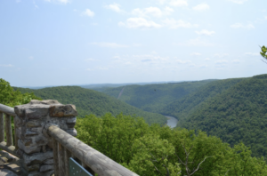
COOPERS ROCK
The overlook itself is, in my opinion, better than many. It’s really cool the way they built the railing onto the rock & it is a nice view. The winding creek through the mountains is very picturesque as well. When I looked into it, it sounded like it could be a crowded spot though a lot of times so I’d advise weekdays during normal working/school hours if you go so it is fairly open like it was for me. That advice applies to most hikes actually but especially popular spots like this 1.
Now for the exploring part… Make sure you have a map from the gift shop. From here, I took Rattlesnake to what I thought was Rock City Trail (more on that in a bit) to Rhododendron to Clay Run to Roadside for a loop I think was 5ish miles that led me back to the parking area. Unless you are way more fit then me… Maybe don’t do that… Clay Run is essential to the loop part of that & coming from that direction it is a tiresome, almost endlessly uphill trail that, if you’re like me, will leave you shuffling along, & very worn out by the time you reach Roadside Trail. Also, you might sleep in until almost noon the next day…
Let’s start. I took Rattlesnake…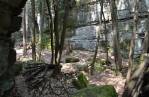
WHAT I THOUGHT WAS ROCK CITY
& I reached this very rocky area that I went down into to explore. There was a good chunk of area like this & I’m pretty sure I wasn’t even on a trail at all for a while. It was really cool. This had to be Rock City right? I mean look at it. Plus I had no idea when I stopped being on Rattlesnake Trail so… ya. It had to be Rock City… or so I thought.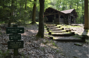
NOPE
It wasn’t.
After I started to accept that I was a little lost, I saw a roof. I headed towards said roof then checked this sign. I came out of the woods from behind that building; which doesn’t line up with those signs & I definitely wasn’t at Rock City yet (but it was SO rocky…). I think I cut right through the middle of Eagle Loop or something somehow. I honestly don’t know. Now that I was officially back on a trail I headed to the REAL Rock City.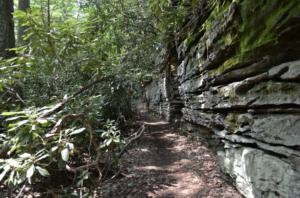
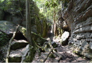
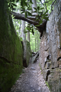
THE REAL ROCK CITY
I don’t get it. Looked a lot like the fake Rock City. Who names this stuff? It was a cool trail though. Next up I headed for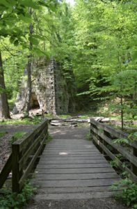
CLAY FURNACE
It’s a random furnace in the middle of the forest. Cool old structure. No idea how old it is. I probably should have read the sign that was beside it.
Next was to take Clay Run Trail to a water reservoir. It’s a trap. It wasn’t overly steep but it was I think 1.6 miles of almost nothing but UP. Who would RUN that?! Why would you name it Clay RUN?!?! I literally only passed other humans on that stretch once & I imagine it was because most people were either smart enough not to do it; gave up & turned back before I was on the trail; or succumbed to their misery & passed out somewhere in the forest while desperately looking for an easier way back to the parking area… It doesn’t really have anything of note along it either except for the water reservoir. Just woods until it starts to level off a bit & you lose the shade. If you survive to the end you will reach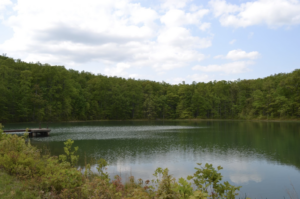
THE WATER RESERVOIR
This was a nice spot. If I had passed out it would have been a peaceful place to do it. Now that I think about it I guess Clay Run wouldn’t have been so bad starting at this end…
OOPS…
By this point I was thoroughly tired & just wanted to get back to the parking area. Just beyond this was the Roadside Trail. The final stretch. I think the 1st sign I saw said 1.3miles then .8 then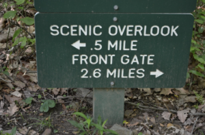
I ONLY WENT .3 MILES?
This is where after an eternity of walking I realized I had only gone another .3 miles… yup… JUST .3… Once I got almost completely to the end of the trail I saw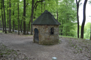
THE WELL
I knew this was there somewhere but I was starting to think I missed it somehow. Turns out it was right by the parking area the whole time. It was locked. Wouldn’t want to fall down the well. 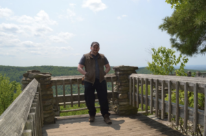
ME
Thank you for Reading!
